There and back again.
In the summer of 1911, a nineteen-year-old J.R.R. Tolkien walked through the Bernese Oberland and into the Valais. More than fifty years later he wrote that Bilbo’s crossing of the Misty Mountains was based on it. I rendered Switzerland’s relief in R and traced the walk across the mountains that shaped it.
01 The idea
A letter as a brief.
“The hobbit’s (Bilbo’s) journey from Rivendell to the other side of the Misty Mountains, including the glissade down the slithering stones into the pine woods, is based on my adventures in 1911.” So Tolkien wrote to his son Michael, in the letter now numbered 306.
That sentence is the whole brief: put the walk back on the mountains that shaped it, and keep clear what Tolkien said, what the record shows and what later readers have inferred.
02 The walk
Interlaken to Zermatt.
Scroll to follow the route. Each stop says how we know it: Tolkien’s own words, a dated record, a later reconstruction or a reading of the books.
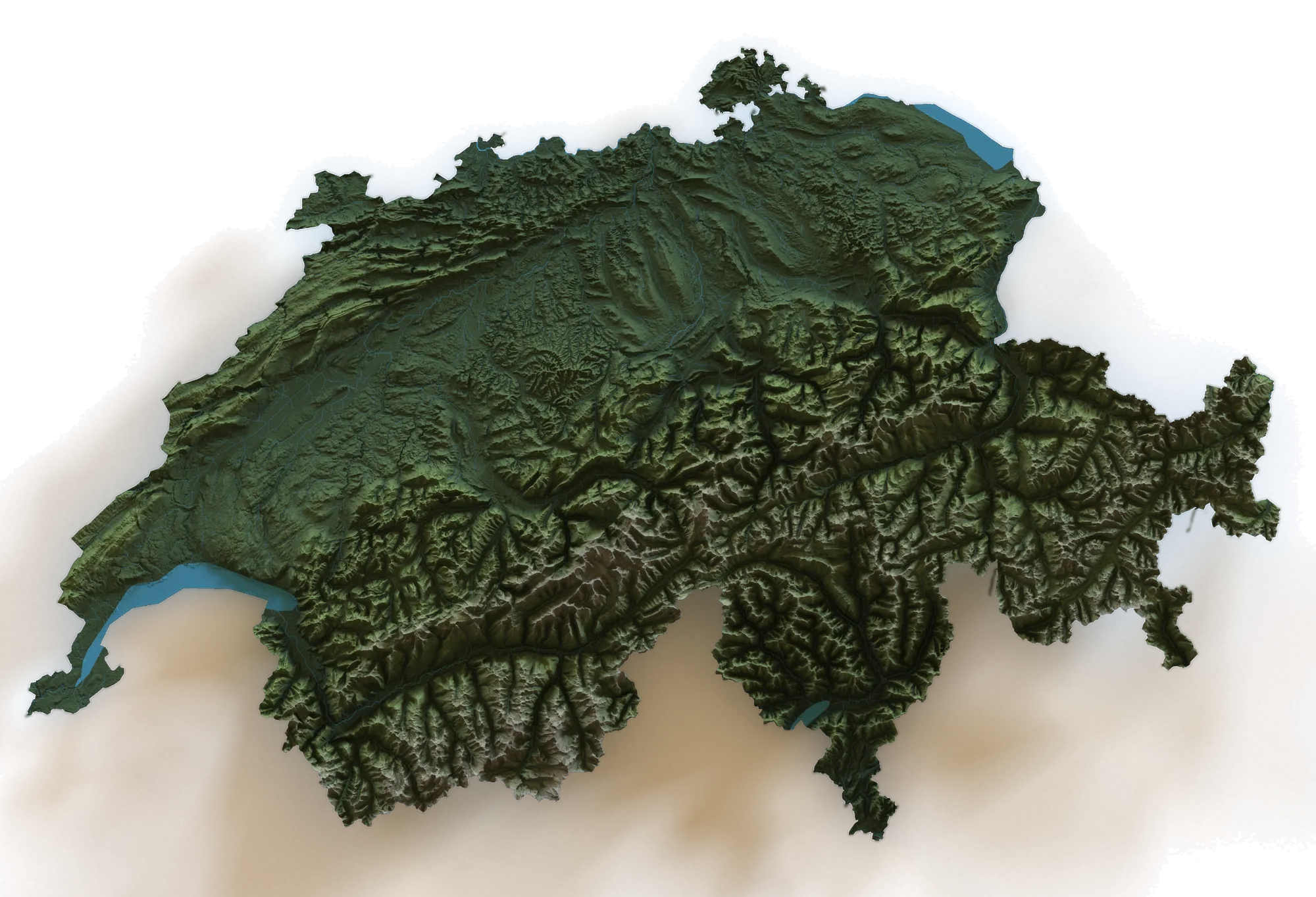
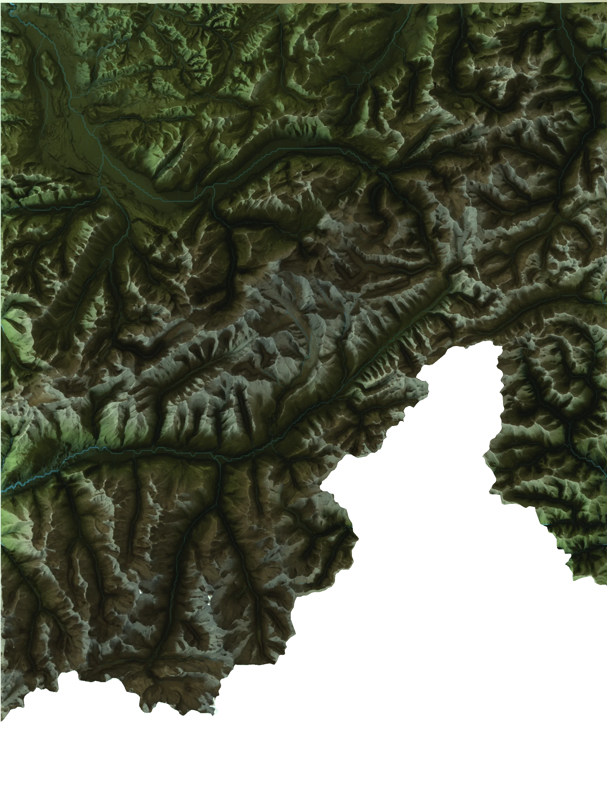
Relief rendered in R with rayshader · route reconstructed from Tolkien’s letters and later research
- 01
Interlaken
Letter 306
Summer 1911. Tolkien sets out with a small walking party that includes his aunt, Jane Neave. By his own account they went on foot with heavy packs, mostly by mountain paths.
- 02
Lauterbrunnen
Interpretation
A deep valley walled by cliffs and threaded with waterfalls. Biographers, John Garth among them, see it in Rivendell, the hidden valley of the Elves.
- 03
Mürren
Letter 306
High above the valley, facing the Jungfrau and the Silberhorn. Tolkien later called the peak “the Silvertine (Celebdil) of my dreams”—one of the three mountains above Moria.
- 04
Ober Steinberg
Dated record
The head of the valley, among moraines. A guest-book entry at the inn is dated 5 August 1911 (Scull & Hammond).
- 05
Kleine Scheidegg
Reconstruction
East over the pass beneath the north faces of the Eiger and the Mönch, and down to Grindelwald.
- 06
Meiringen
Reconstruction
Over the Grosse Scheidegg to Meiringen, then south up the Hasli valley towards the high passes.
- 07
Grimsel Pass
Reconstruction
Across the Grimsel into the upper Rhône valley, and down the valley to Brig.
- 08
Belalp
Letter 306 · interpretation
Above Brig, by the Aletsch glacier, falling rocks narrowly missed the party—an episode Tolkien still remembered in old age. Some readers hear it in the stone-giants of The Hobbit.
- 09
Zermatt
Reconstruction
Under the Matterhorn, the end of the trail as it can be traced. Beyond Zermatt the record grows faint.
03 The relief
Mountains from a matrix.
- 01
Elevation
Terrain tiles fetched with elevatr at zoom 10 and clipped to the national border.
- 02
Projection
Reprojected to the Swiss LV03 grid and resampled to square pixels, so no valley is stretched or squashed.
- 03
Shading
An alpine palette from valley green to snow, with ray-traced shadows and ambient occlusion over the height map.
- 04
Water
Rivers from HydroRIVERS, drawn wider for larger streams; lakes from Natural Earth.
- 05
Render
Path-traced at 3,500 × 3,500 pixels with 350 samples each, lit by a studio HDRI. The route is projected through the same grid, so it sits in the right valleys.
04 Sources and limits
What we know, and how.
- Firsthand, but late
- Letter 306 is the only account in Tolkien’s own words, written more than half a century after the walk.
- The order is partly rebuilt
- The stages from Interlaken to Brig are well attested; the stretch by the Aletsch and on to Zermatt is reconstructed.
- Places, not paths
- The line follows valleys and passes between known places. It is not a recorded track.
- Readings are readings
- Links such as Lauterbrunnen as Rivendell, or the rockfall as the stone-giants, are interpretations—marked as such.